Frequently Asked Questions about our Journey on the Wild Coast
What did you do?
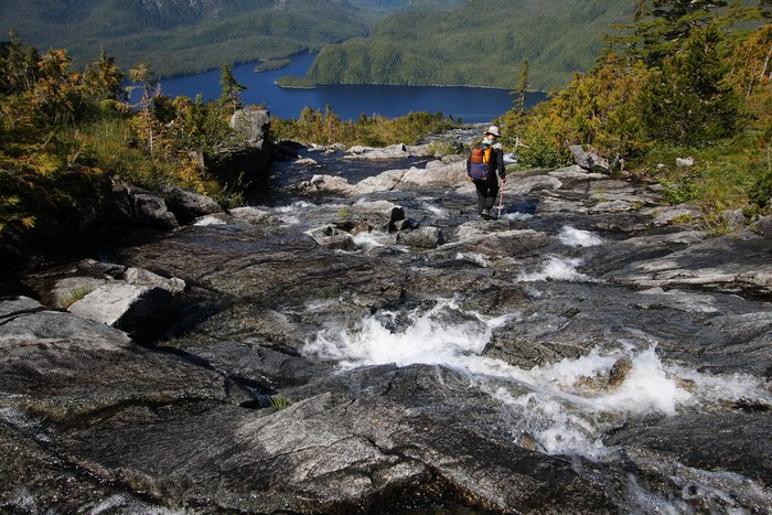
A year-long continuous journey from the Puget Sound to the Bering Sea, traveling 4000 miles by foot, packraft, and skis on the edge of the North Pacific. This trip took us through some of the most rugged, most remote, and most wild places in North America. We started at our front door in Seattle in June 2007, and finished at the end of Unimak Island (first in the Aleutian chain), in June 2008.
So, you walked to Alaska?
Yes, but actually, we mostly walked in Alaska. Of the approximately 4000 miles of this trip, about 250 were in Washington, 850 in British Columbia, and 3000 in Alaska.
Why did you do this?
To explore and communicate the broad environmental issues facing this region - issues so broad we could only really see them on a four-thousand-mile walk. We’re working to bring the wilderness into context, raising awareness of the important and complex environmental issues that touch this coast: logging, fishing, oil drilling, mining, and global warming.
No. The Pacific coast is rugged and mountainous, separated by ice fields from the rest of the continent. No road or trail follows the coast - in fact, very few roads even reach the coast.
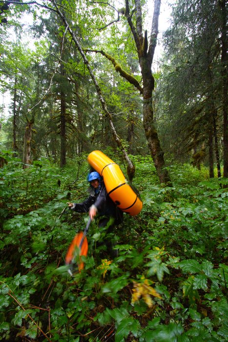
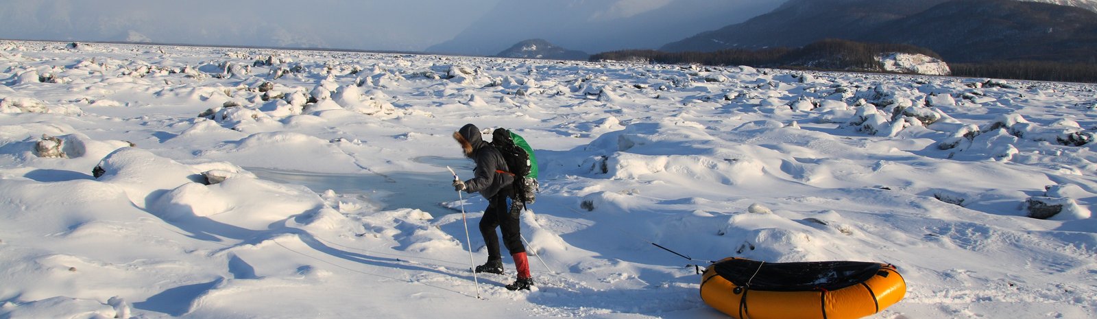
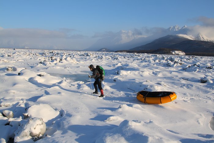
What arepackrafts?
The key to this new style of route! They’re one-person inflatable rafts, weighing 4 or 5 (with spray skirt) pounds each. Made by Alpacka Rafts. These fit easily in a pack, and are quite stable and rugged, able to handle both rivers and seas. On this trip we primarily used them for ocean crossings - up to 5 miles. They have a top speed of about 2 miles per hour. See my Packrafting page for more information, reviews, and past packrafting trips.
What about bears?
Bears (both black and brown) were common along our route in B.C. and Southeast Alaska, and even more common (brown only) in southwest Alaska. We deal with them mostly through common sense (camping in out of the way places), but also carry pepper spray. See the Videos page for a few of our most exciting encounters.
How did you get food?
We resupplied our food by buying what we could find in villages and towns along the way. In the most remote/smallest towns (no stores), we mailed food ahead from the closest store. We gathered a few wild foods (primarily berries, mushrooms and greens) to supplement our diet, but they provided insignificant calories. The average distance between stop points along our route was about 6 days, but the longest legs were up to 14 days between towns.
Skis on our back in Seattle in June? No. We mailed gear to ourselves at some of our stop points - to switch to ski gear in the winter, and to replace worn out items like socks and shoes.
How did you train for this trip?
We don’t really do any special physical training, other than trying to keep in reasonably good shape (I do aikido, while Hig likes taking walks). In a year of travel, we had plenty of time to get in top form. Our main difficulty was not losing too much weight.
How did you update theblog?
We grabbed internet connections wherever we could find them along the way. These days, internet is easier to find than groceries.
Are you crazy?
Well we did successfully finish our trip. Also, see our previous Alaska expeditons. You be the judge.