Background
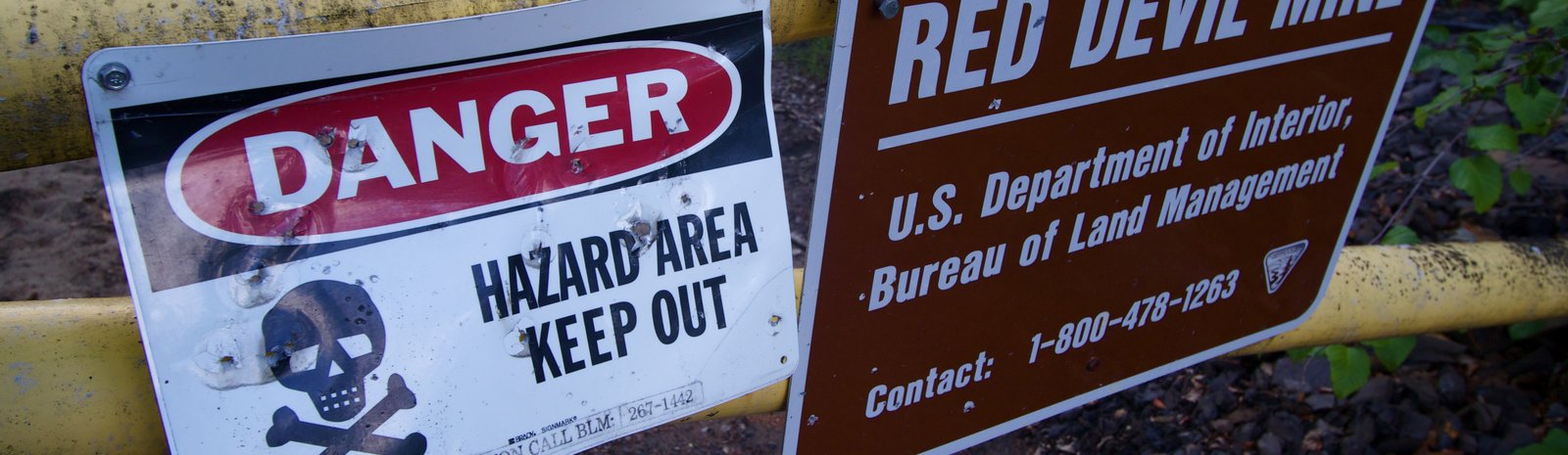
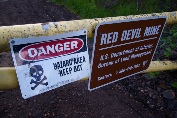
The Red Devil Mine extracted cinnabar that was processed into mercury on-site sporadically from 1933 to 1971. It was located in southwestern Alaska near the site of the proposed Donlin Creek Mine. It produced a total of 2.7 million pounds of mercury, and for a time was the largest producer in Alaska. As was the case for many mercury mines of this era, the operation left behind a site highly contaminated with heavy metals, PCBs, fuel, and other chemicals.
The lands around the mine were selected as part of the Alaska Native Claims Settlement Act for conveyance to the Kuskokwim Corporation (surface) and the Calista Corporation (subsurface). However, the U.S. Bureau of Land Management (BLM) still controls the 10 acres containing the mine site and won’t release it until remediation of numerous environmental problems is completed (see below).
Calista Corporation has expressed interest in exploring this geologic deposit for gold.
Environmental concerns
Numerous pollution problems have been associated with this site including fuel spills, processing chemicals, PCBs, and the direct effects of mercury mining. The mine tailings were dumped on site and soil in the area contains extremely elevated amounts of arsenic (1800 times DEC standards), and antimony (1700 times DEC standards), in addition to mercury (52,000 times DEC standards). Both surface and groundwater contamination from the tailings are of concern at the site. Starting in 2009 the State of Alaska began issuing fish consumption advisories for pike and burbot from the nearby Kuskokwim river due to elevated mercury levels.
Residents in nearby communities have publicly expressed numerous concerns about the site including cancer risk, water contamination, and the idea that remediation might make the problem worse by disturbing the soil.
Cleanup efforts
Remediation at the site has been ongoing for almost 25 years, at a taxpayer cost of almost $10 million to date. There was a big push during the last couple of years using Federal stimulus money targeted primarily at the fuel spills. Currently the BLM is working on a detailed environmental assessment of the site and preparation of a remediation plan. During both 2010 and 2011 the BLM held meetings in all the nearby communities to discuss issues related to the mine site.
However, in 2012 the state asked the EPA to take over management of the site from the BLM, by designating it a Superfund site. Until that’s resolved, the BLM is still moving forward with remediation planning. As of late 2013 the BLM had plans to begin remediation efforts in the summer of 2014.
Further Reading
Created: Jan. 19, 2018