- Summary
- Introduction to hydrology
- Effects of mining
- Water at Pebble: existing status, ecology, and potential impacts
(Author’s Note: Much of the information about hydrology and water quality at the Pebble Mine site is based on publicly available data, released by PLP. In deference to their “do not cite or quote” policy, we have simply listed the most relevant documents under Further Reading)
Summary
The hydrologic environment is one of the most important and difficult to assess factors in designing a mine. The proposed Pebble Mine would require complex and large-scale management of ground and surface water to prevent damage to water resources or the mine facilities. Factors specific to the area such as permeable bedrock, abundant surface water, and ecologically sensitive ecosystems, make this management particularly challenging.
Introduction to hydrology
Surface water is visible in streams and lakes, and is easy to picture as isolated channels and reservoirs separated by dry ground. But beneath the surface, groundwater connects all water bodies. Groundwater moves by flowing through cracks and cavities. Water might seep into the ground from one stream and re-emerge in a spring miles away. Groundwater flow is complex, and varies from almost no motion of water to whole rivers flowing through the earth, depending on how permeable the ground is.
The “water table” is the upper surface of groundwater. Above the water table, soils may be wet, but they are not saturated. Below the water table, water fills all cavities. Anywhere there is surface water, the water table extends to the surface of the earth. The water table is important because the weight of water creates downward and outward pressure, and this drives the motion of water.
Groundwater is driven by pressure from places where the water table is higher to places where it is lower. In most cases the water table roughly follows the ground surface, so it will be higher under hills than in adjacent valleys. The height of the water determines how much pressure it’s under, so water flows from places where the water table is higher to places where the water table is lower. This can push water through whole mountains, from a higher valley to a lower one adjacent. The more permeable the rock is, the faster that water flows. For example, sand or gravel is much more permeable than silt, and clay can provide a nearly perfect seal. In harder rocks, water will flow along systems of cracks such as on a fault, whereas unbroken rock can create a barrier to flow.
Effects of mining
Because most mines target rock that is below the water table, controlling groundwater is critical to mining operations. After completion of mining, regulating water flow is also important for limiting the spread of mining pollution.
In any mine that is below the water table, water will have to be continuously pumped from the mine and/or surrounding rock to prevent flooding. This lowers the water table, and causes groundwater to flow toward the mine. Large mines can pump massive amounts of water, for example the proposed Pebble Mine would pump 35 billion gallons per year. Sealing the rock using chemical grouts that reduce permeability can reduce the amount of pumping needed.
Mines also change water flow by raising the water table where tailings dams or other facilities impound surface water, since the water table is continuous with surface water. For a large dam this can mean that the water table at the dam has been raised hundreds of feet relative to the pre-mining arrangement. The resulting pressure gradient can push water faster or in different directions than in the pre-mining state. Potentially contaminated groundwater will flow away from such a facility, and controlling where it goes can be very difficult, especially for large facilities like those that would be needed at Pebble.
Water at Pebble: existing status, ecology, and potential impacts
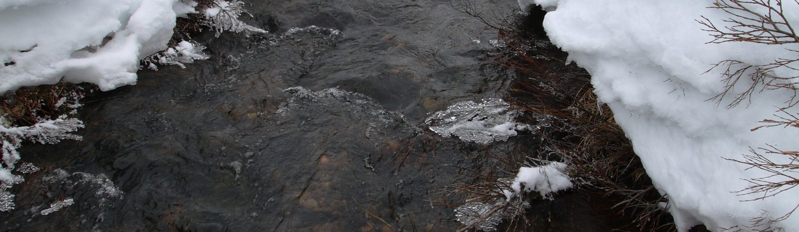
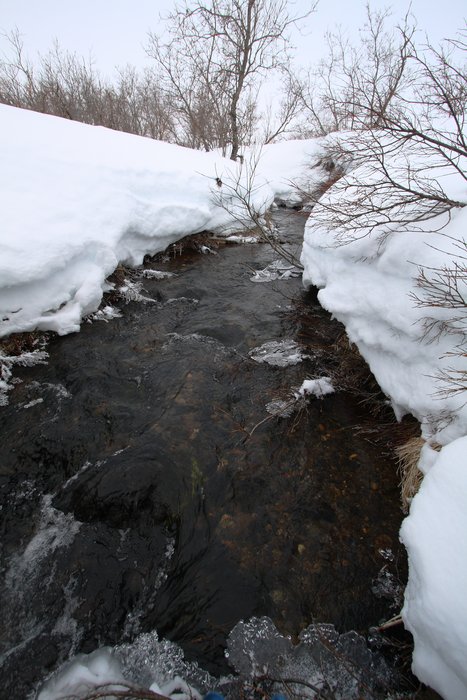
The rivers and lakes in and downstream of the proposed Pebble Mine are virtually uncontaminated by human activity as well as being naturally low in acid and heavy metals. The ecology of the area reflects this, with diverse insects and microorganisms feeding large, abundant, and diverse populations of fish. Mammals and birds rely on the rich freshwater ecosystem, particularly on the huge salmon runs. Because these waters are so rich, even levels of metals and acid that might occur naturally in some areas would damage this ecosystem.
The Pebble deposit is a metal sulfide deposit, meaning the rocks can react with oxygen in the water and air to form sulfuric acid. This acid in turn leeches out metals like copper and lead from the rock. The acid, the metals, and other compounds are harmful to life in the water and these problems are collectively known as acid mine drainage. The amount of acid produced is related to the amount of oxygen that reaches the rock. When rock is buried deep beneath intact soils and “overburden”, little oxygen reaches it. But mining fractures the rock, and exhumes it into waste rock and tailings that are much more permeable and have a larger surface area, allowing far higher oxidation rates.
Mining facilities commonly attempt to prevent pollution from acid mine drainage by sealing the exhumed rock back up, and often by treating some of the water leaving the site. The first step to sealing rock is to submerge it, since air carries far more oxygen than water. At Pebble there are plans to build giant dams filled with tailings and capped with a layer of water to achieve this. The base of the saturated tailings beneath the ponds also has to be sealed to prevent water in them from entering groundwater and seeping into nearby streams and rivers. This might be achieved by lining the dam and bottom of the tailings repository with a synthetic liner or clay. Ultimately it is possible that some active management involving pumps and/or water treatment will be needed to prevent acid runoff from the mine. One common concern about all of these water control methods is that they need to be maintained forever since the rock always retains the potential to generate acid if exposed to air.
The bedrock below possible tailings storage sites at Pebble includes major layers of very permeable rock, as well as networks of cracks around faults. One of the most dramatic examples is between the upper Koktuli River and Upper Talarik Creek, where water flows under a mountain and springs up along the creek. The Upper Koktuli River is a likely location for one of the major tailings storage facilities. If any leakage occurred out of the base of this facility, it would be virtually impossible to contain.
Further Reading
- > "Water-related Impacts at the Pebble Mine" (2007) by Dr. Robert Moran
- > "Pebble Mine: Hydrogeology and Geochemistry Issues" (2007) by Dr. Robert Moran
- > Pebble Project Draft Environmental Baseline studies, Proposed 2008 Study Plans: Chapter 4. Surface Water Hydrology
- > Pebble Project Draft Environmental Baseline studies, Proposed 2008 Study Plans: Chapter 5. Groundwater Hydrology
- > "Report F: Surface Water Quality" by the Pebble Limited Partnership
- > "Report H: Macroinvertebrates and Periphyton" by the Pebble Limited Partnership
Created: Jan. 19, 2018